
I was sitting in the ETA lounge at Jungwon today, doing my Korean homework and trying to remember all the rules for the past tense, when I looked up from my notebook and saw a map of the world hanging on the wall. But something about it was different.
I had flashbacks to elementary school geography, when I learned that maps could look different based on projections and shape. Sometimes Greenland was small and squished; other times it was the size of Africa. Sometimes Antarctica looked like a thin line, while other times it nearly touched South America. But in every map I had seen, North America was in the West and Asia was in the East.
Perhaps you’ve guessed how this map was different.
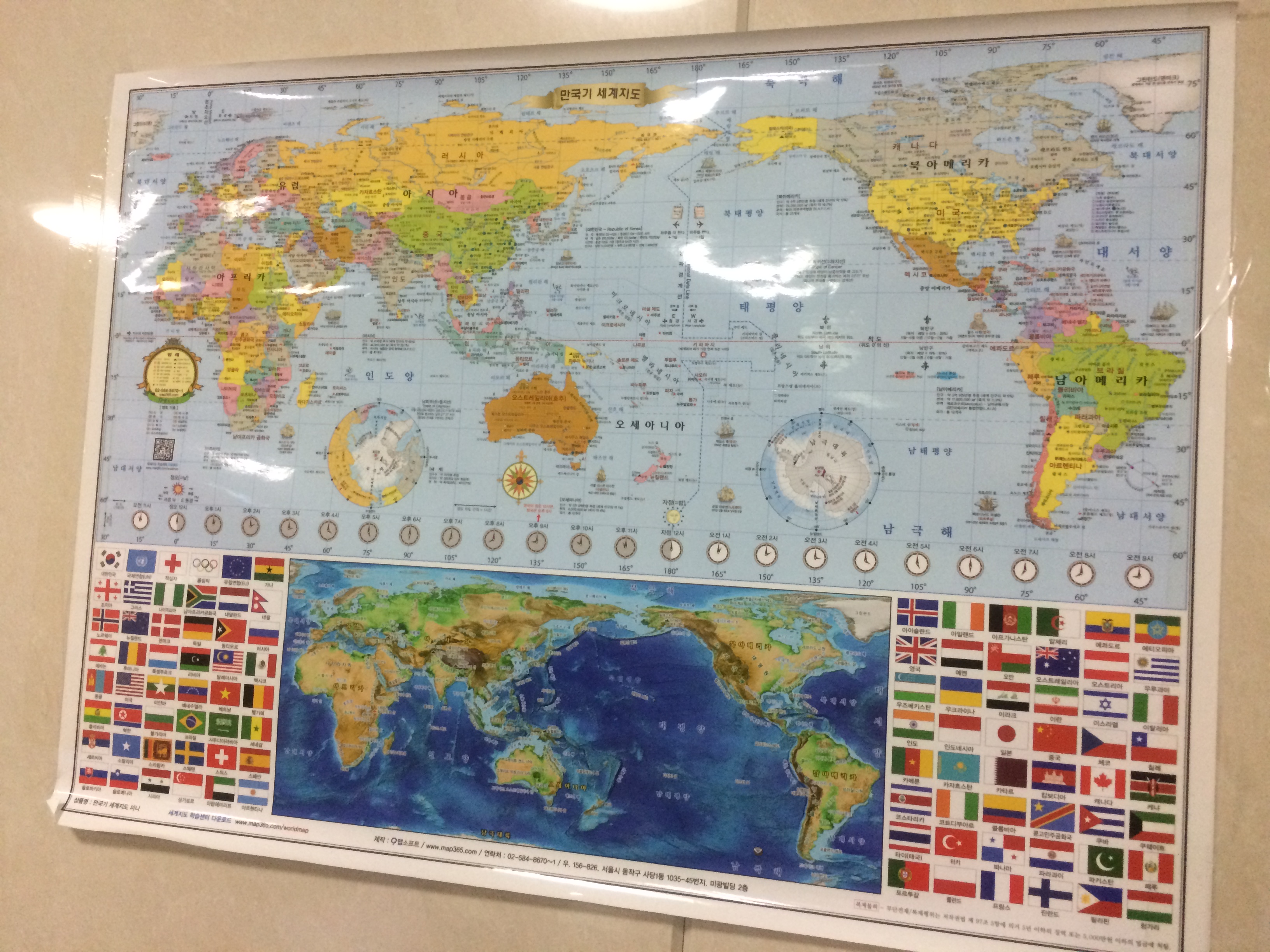
I never expected to see that – Asia is in the West and America is in the East! When you use a flat map to describe a round planet, which continent is in the “east” and which is in the “west” is arbitrary, of course. But it’s fascinating to think that it does seem to matter and that different parts of the world have different geographical perspectives. It makes me wonder what other symbols I “know” that I will have to relearn.
